Description
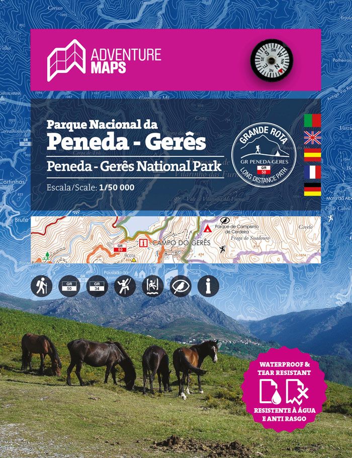
Map of Peneda Gerês National Park
Legended in 5 languages (PT, EN, ES, FR and DE), it includes the whole network of pedestrian walks of the National Park, tourist attractions such as waterfalls, camping sites, picnic areas, climbing spots and canyonig, tourism, among others.
It also includes the towns of Arcos de Valdevez, Ponte da Barca and Terras de Bouro.
Printed on waterproof and anti-tear film
Resistant to frequent handling
- Scale: 1/50 000 (1 cm = 500 mts)
- Legend and Additional Information in Portuguese, English, Spanish, French and German
- Built-in magnetic compass
- Road network (includes GR34)
- Specific information of the „Ports“ as information and reception centers of the National Park
- Tourist points of interest with symbols such as: Waterfalls, Panoramic Views, Picnic Areas, Museums and Tourism Stations, among others
- Climbing and Canyonig Spots
- Equidistance of contour lines: 20 m
- Gauss Quadricula with divisions of 2 km
- WGS84 coordinates (compatible with GPS)
- Representation of the magnetic declination
- Open size: 96cm x 59cm
- Folded Size: 15.5cm x 19.7cm
- Printing: double-sided with overlapping area
- Waterproof and anti-tear film
| Gewicht: | 50 g |
|---|---|
| Verlag: | Adventure Maps |
| Reihe: | Adventure Maps Portugal |
| Maßstab: | 1:50.000 |
| Medienart: | Karten |
| Sprache: | Deutsch, Englisch, Französisch, Portugiesisch, Spanisch |
| EAN: | 9789892073408 |
| Höhe in mm: | 197 |
| Breite in mm: | 155 |
| Höhe in mm offen: | 590 |
| Breite in mm offen: | 155 |
| Erscheinungsjahr: | 2017 |
| Kontinent: | Europa |
| Land: | Portugal |
| Region: | Nordportugal, Peneda-Gerês |
| Orte / Berge / Seen: | Arcos de Valdevez, Ponte da Barca, Terras de Bouro, Riba de Mouro, Penso, Sistelo, Soajo, Pitôes das Júnias |

Reviews
There are no reviews yet.