Description
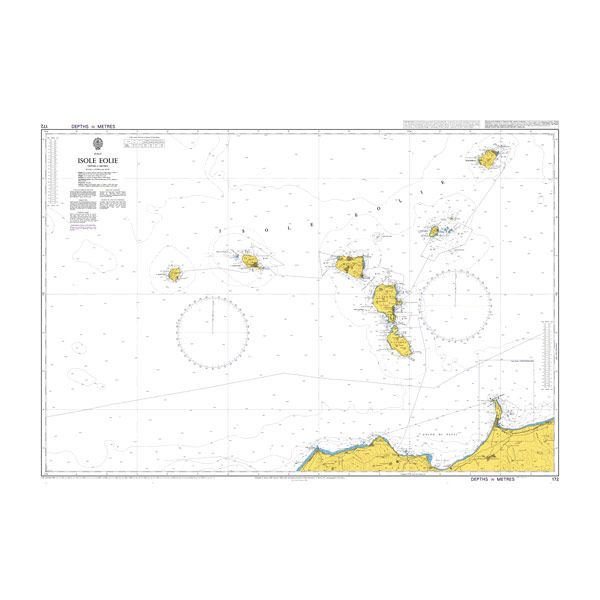
Admiralty standard navigational chart. Scale 1:125,000
| Verlag: | The UK Hydrographic Office |
|---|---|
| Reihe: | British Admiralty Charts |
| Maßstab: | 1:125.000 |
| Medienart: | Seekarten – plano |
| EAN: | 9995195001721 |
| Kontinent: | Europa |
| Land: | Italien |
| Bundesland / Provinz: | Sizilien |
| Region: | Liparische Inseln, Tyrrhenisches Meer, Mittelmeer |


Reviews
There are no reviews yet.