

Description
Walking map 1:25.000 scale showing all the paths (with and without waymarking) recorded with satellite GPS.
The new series of „Le più belle escursioni“ („top walks“) are practical booklets that go with 1:25,000 scale maps of Piemonte, printed on tough waterproof paper. A handy light sleeve with double pockets holding a full colour guide describing the 9 top walks from the area is included for the same price as the map.
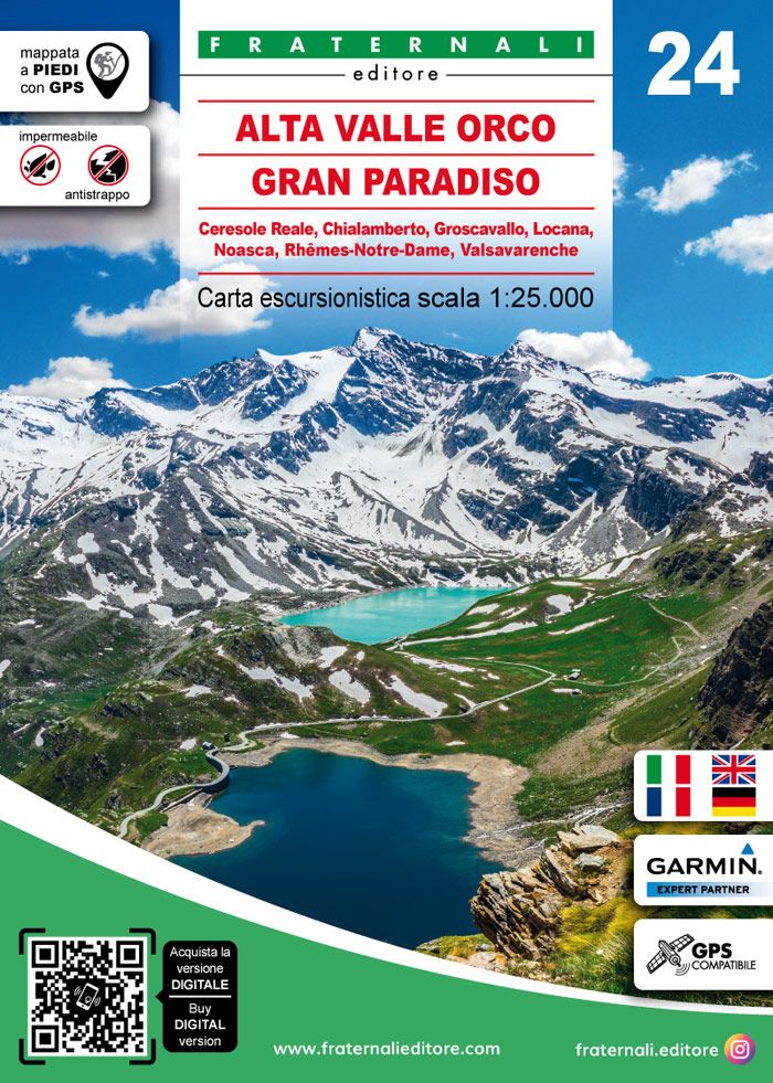
Walking guidebook for Valle dell’Orco, in the National Park of Gran Paradiso (Piedmont), with 9 routes selected from the best the area has to offer, with historical-cultural notes and colour photos.
- 1 Rifugio Pontese and Bivacco Carpano
- 2 Bocchetta del Ges
- 3 Hamlets in Vallone del Roc
- 4 Colle Sià Circuit
- 5 Col della Terra circuit
- 6 Lago dell’Agnel Circuit
- 7 Kettle Holes and Mines Circuit
- 8 Colle del Nel Circuit
- 9 Bocchetta Fioria
- Size: 11×16 (guide-book) – 70×100 printed on both sides (map)
- Pages: 64 (guide-book) + 1:25.000 (map)
- Photo: Color
- Binding: Stapled
- ISBN: 9788898520732
- Code: ESC14
| Gewicht: | 105 g |
|---|---|
| Verlag: | L’Escursionista |
| Reihe: | Carta dei sentieri 1:25.000 |
| Maßstab: | 1:25.000 |
| Medienart: | Karten |
| Sprache: | Deutsch, Englisch, Französisch, Italienisch |
| EAN: | 9788898520732 |
| Höhe in mm: | 160 |
| Breite in mm: | 110 |
| Höhe in mm offen: | 700 |
| Breite in mm offen: | 110 |
| Erscheinungsjahr: | 2018 |
| Kontinent: | Europa |
| Land: | Italien |
| Bundesland / Provinz: | Aostatal, Piemont |
| Region: | Grajische Alpen |
| Orte / Berge / Seen: | Colle del Nivolet, Gran Paradiso, Val de Rhêmes, Valle dell’Orco, Ceresole Reale, Levanna, Valsavarenche, Noasca, Pont, Groscavallo, Monte Bellavarda |
Reviews
There are no reviews yet.