Description
- Edition: Second
- Year: March 2017
- Size: 70×100
- ISBN: 9788898520589
- Code: ESC03S
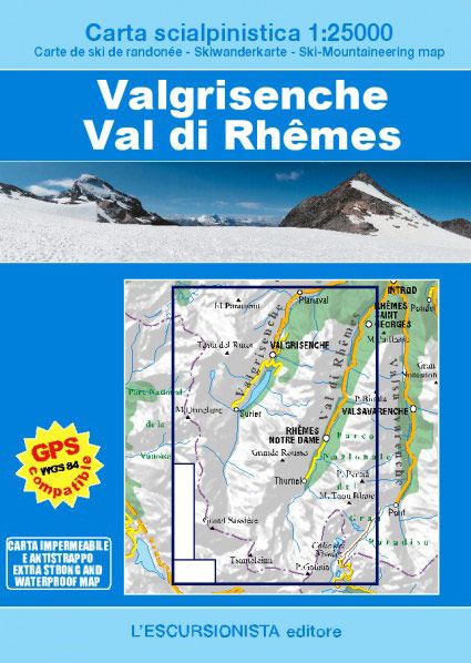
Ski-mountaineering map of the Valgrisenche and of the Val di Rhêmes at a 1:25.000 scale with a WGS84 grid (1km), printed on support extra strong and waterproof.
| Gewicht: | 71 g |
|---|---|
| Verlag: | L’Escursionista |
| Reihe: | Carta scialpinistica 1:25.000 |
| Maßstab: | 1:25.000 |
| Medienart: | Karten |
| Sprache: | Deutsch, Englisch, Französisch, Italienisch |
| EAN: | 9788898520589 |
| Höhe in mm offen: | 700 |
| Erscheinungsjahr: | 2017 |
| Kontinent: | Europa |
| Land: | Italien |
| Bundesland / Provinz: | Aostatal |
| Region: | Grajische Alpen |
| Orte / Berge / Seen: | Val de Rhêmes, Tête du Ruitor, Valgrisenche |

Reviews
There are no reviews yet.