Description
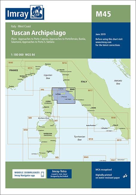
Plans included: Approaches to Porto Capraia (1:25 000)
Approaches to Portoferraio (1:30 000)
Bastia (1:17 500)
Talamone (1:35 000)
Approaches to Porto S. Stefano (1:15 000) For this 2015 edition the chart has been fully updated throughout with amendments to navigational aids, cables, restricted areas and harbour developments.
| Gewicht: | 153 g |
|---|---|
| Verlag: | Imray, Laurie, Norie & Wilson Ltd. |
| Reihe: | Imray Seekarten Imray Charts |
| Maßstab: | 1:180.000 |
| Medienart: | Seekarten – gefaltet |
| Sprache: | Englisch |
| EAN: | 9781846237133 |
| Kontinent: | Europa |
| Land: | Italien, Frankreich |
| Bundesland / Provinz: | Korsika, Toskana |
| Region: | Korsika, Tyrrhenisches Meer, Toskana, Ligurisches Meer, Elba, Monte Argentario |
| Orte / Berge / Seen: | Porto Azzurro, Bastia, Capraia, Piombino, Portoferraio, Montecristo, Pianosa, Giannutri, Talamone, Porto Santo Stefano |

Reviews
There are no reviews yet.